Educational activity based on the short film Mirage
Understand the notion of geographical scale.
Extract relevant information from a document to answer a question.
Use analog and digital maps at different scales.
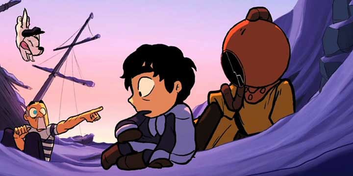
Mirage © School of Visual Arts
TitleMirage
ThemeMirage
Genre & keywordsNarrative, mirage, magical, friendship, animals, fish, miraculous fishing, dream
Age (for the film)3-11 years
Duration09 min 19 s
DirectorIker & Dana
MusicA. Reumeurs & J. Kleijnen
ProductionSchool of Visual Arts (United States, 2013)
Study the concept of desert from satellite views of the Earth.
Mirage features two places which are part of these “highly constrained natural environments” whose study is important to understand the diversity of our planet: on one side the sea ice zone, where the daily collection of food is clearly a challenge for the child, on the other the ocean, where there is no land for people to settle on. Both are very sparsely populated. They are deserts in the first (etymological) sense: empty, unoccupied.
However, they are not equivalent in ecological terms. In the first, there is very little animal or plant life, in the second it is abundant and diverse. Only the first is a desert in the geographical sense: an environment where low precipitation leads to an essentially mineral landscape. In this activity we will help pupils grasp the different facets of the desert: from the human desert to the desert for all organic life.
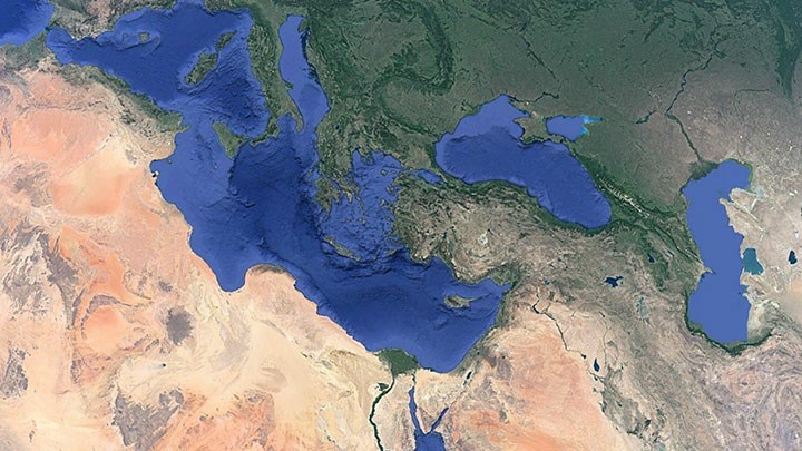
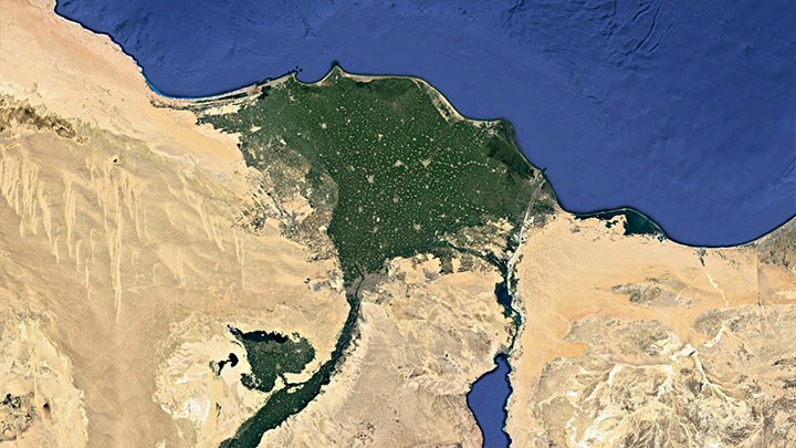
In order to keep an overall view, the documents used will be whole-Earth maps viewed interactively with Google Earth (Pro version, free). We will use the default view (reduced to only relevant information), to which we can add specific maps. These are files that can be opened in Google Earth to obtain a “layer” of data which is superimposed on the photographic base of the software (See the references below.)
It may be useful to start by introducing the software and the techniques it depends on: satellite data collection (Google Earth also uses aerial photos). We should emphasize the role of this “external” vision at a distance from the Earth to understand the links between environments and people who are nonetheless geographically far apart, i.e. a global vision of the planet characteristic of the contemporary world.
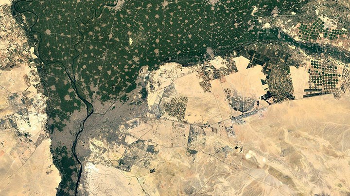
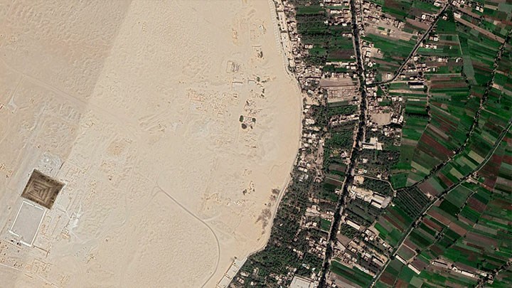
The first step consists of observing the globe as it is to locate deserts, defined at first glance as places not occupied by humans. The principle is to look for signs of human occupation and to think about the landscapes, whose overall shape we observe at large scale (colors, structures). Panning and zooming let us refine or rule out ideas (distinguishing natural structures from artificial structures, for example). The role of the teacher is to guide the interpretation of the signs. To clarify the observation, a land cover map can be superimposed (type of vegetation, cultivated areas, artificial areas, etc.).
We can conclude this first intuitive search by checking with a population density map. At the end of this stage, children should have some grasp of the relationship between natural environments and human presence (the role of the constraints of the natural environment) as well as a short list of areas where humans are not present.
The second step consists of focusing on these areas and their ecological characteristics, in particular the link between the presence of water and the presence of life. This is the scientific meaning of the word desert. Aridity assessment maps are available. For life mapping, the problem is more complicated, but some specialized global maps, for assessing biodiversity or biomass, can be used.
The aim is to check that even in areas that humans do not occupy, vegetation or animal life can still be present. The ocean is obviously the paradigmatic example, in particular because we are only beginning to measure its biodiversity. Thus, very few areas of the globe are truly abiotic (without the presence of organic life): there are only glacial deserts, where
water is present, but in frozen form.
Activity sheet written by: Bruno Pellier